
Skuppah
Land Use Plan
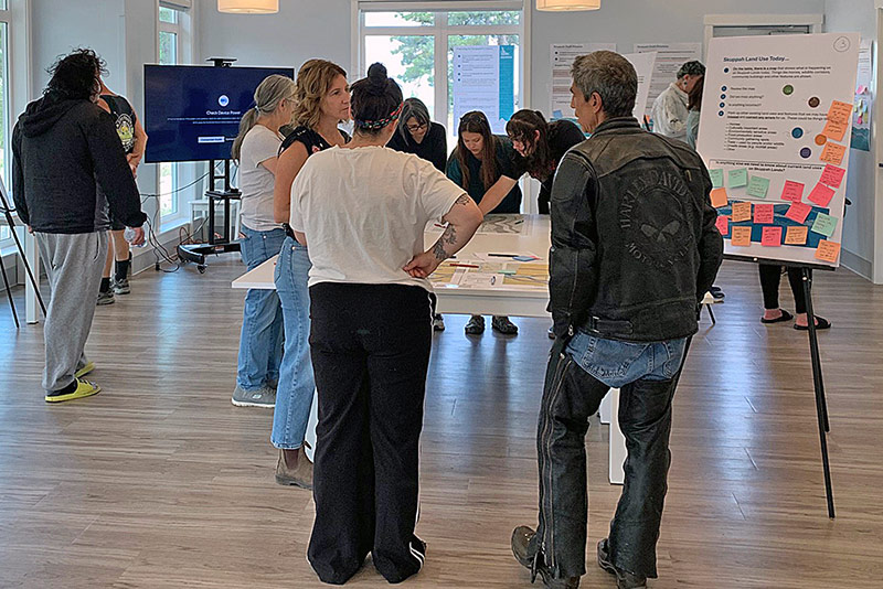
Meraki partnered with Skuppah to develop the first phase of their inaugural Land Use Plan, creating a foundation for future growth, stewardship, and community-led decision-making. Working closely with Members, Chief and Council, we combined community knowledge, technical GIS analysis, and land-based values to develop a series of existing conditions, future land use, and trail network maps that reflect both where Skuppah is today and where it wants to go.
Rather than relying on conventional technical mapping, we transformed GIS data into a collection of custom-designed, visually engaging maps that tell the story of the land. By blending cartography, planning, and graphic design, the maps became accessible planning tools that supported meaningful community conversations while honouring Skuppah’s relationship with the land and providing a clear framework for future planning phases. (Contracted by McElhanney, Kamloops)